 01↗
01↗Topographic surveys
Capture detailed elevation and surface information for planning, engineering design, drainage analysis and site documentation.
UAS surveying & mapping
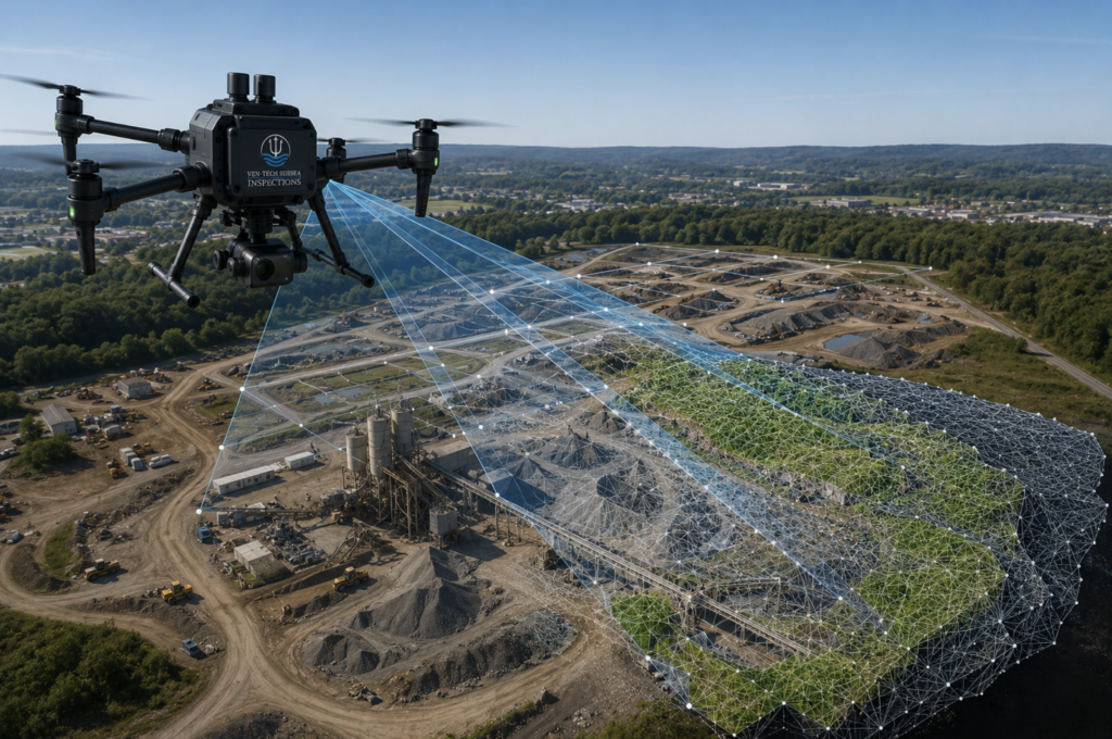
Drone surveying, photogrammetry and LiDAR mapping for engineering, mining, construction and environmental projects across British Columbia and Canada.
Survey the full picture
Ground crews need dependable site information—not disconnected imagery or unexplained numbers.
Ven-Tech plans each UAV mapping mission around the terrain, required accuracy, control network and final engineering use. Our drone surveying in BC and across Canada connects field capture, quality control and useful spatial deliverables in one disciplined workflow.
Surveying & mapping capabilities
Every drone topographic survey, photogrammetry mission or drone LiDAR survey is designed around the decision and deliverable—not simply the flight.
01↗Capture detailed elevation and surface information for planning, engineering design, drainage analysis and site documentation.
 02↗
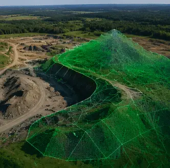
02↗Calculate stockpile, excavation and material volumes for inventory, reconciliation, cut-and-fill planning and progress tracking.
 03↗
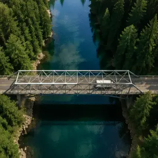
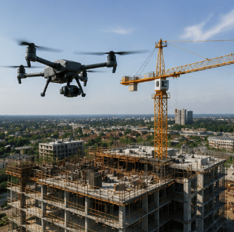
03↗Map roads, bridges, pipelines, shorelines and utility corridors with consistent aerial coverage and spatial context.
 04↗
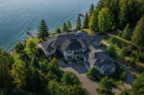
04↗Create corrected, measurable site imagery for construction records, asset inventories, planning and change detection.
 05↗
05↗Develop digital surface and terrain models for elevation analysis, drainage, visibility, environmental and engineering workflows.
 06↗
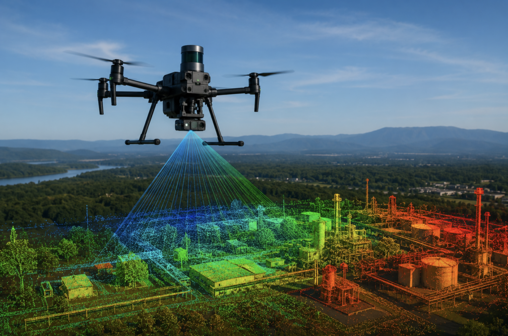
06↗Generate point clouds, terrain detail and three-dimensional site records for complex surfaces, structures and vegetation conditions.
From capture to coordinates
Useful mapping is built through the complete workflow: mission geometry, positioning, control, processing, classification, QA/QC and delivery in the formats your team can use.
Why UAS mapping
UAS mapping can add speed, repeatability and visual context to suitable engineering, construction, mining and environmental projects.
Capture broad or difficult terrain with a structured aerial data-collection plan.
Turn imagery and LiDAR into surfaces, models, contours, volumes and spatial records.
Use consistent control and mission plans to compare progress and change over time.
Prepare data for engineering, survey, CAD, GIS and environmental project teams.
Accuracy & survey control
The appropriate GNSS, ground control, checkpoint and processing workflow is selected around the site conditions, required deliverable and agreed accuracy target.
Real-time or post-processed GNSS workflows can be selected to support the project accuracy, site and control strategy.
Project control can be integrated where required to strengthen alignment, repeatability and deliverable confidence.
Checkpoints provide a separate basis for evaluating the finished model against the agreed accuracy requirements.
Data can be organized around the specified projection, datum, units and project coordinate framework.
Coverage, control, processing quality and check results are reviewed before project data is issued.
Outputs can be prepared for practical CAD, GIS, point-cloud, surface-model and reporting workflows.
Mapping workflow
A disciplined process connects field capture to traceable, decision-ready spatial products.
Confirm the area, accuracy, coordinate system, features and required file formats.
Design the positioning, control, checkpoints, flight lines, overlap and site controls.
Collect aerial and control data, then confirm field coverage and quality before demobilizing.
Build, check and organize the mapping products for the intended CAD, GIS or project workflow.
Operational assurance
Ven-Tech’s mapping work is supported by the same contractor management, documentation and HSE framework used across our industrial, municipal, marine and infrastructure operations.
Sectors we map
Designed to support engineering firms, survey companies, asset owners and project teams that need reliable spatial information.
Common questions
Send us the site, required accuracy and final deliverable. We’ll help define the appropriate capture and control strategy.
Accuracy depends on the aircraft and sensor, flight altitude, terrain, vegetation, image geometry, GNSS method, ground control and processing workflow. Ven-Tech confirms the required accuracy and verification method before mobilization rather than applying one blanket specification to every site.
A digital surface model represents the visible upper surface, including buildings and vegetation. A digital terrain model is intended to represent the underlying ground surface after suitable classification and processing.
Yes. Suitable projects can be mapped to calculate stockpile, excavation, cut-and-fill and material-change volumes. The required control, surface definition, reporting method and comparison dates are agreed during project planning.
Depending on the scope, deliverables may include georeferenced orthomosaics, point clouds, contours, DSMs, DTMs, textured 3D models, volume reports and common CAD or GIS-compatible formats.
No. UAS mapping can support engineering, environmental and survey workflows, but legal boundary and cadastral services must be completed or certified by the appropriately licensed land-surveying professional for the jurisdiction.
Start with the deliverable
Tell us the project area, required accuracy, coordinate system and intended output. Ven-Tech will provide a practical first assessment for your UAS mapping project.