 01↗
01↗Optical gas imaging
Aerial leak detection and emissions monitoring for industrial facilities, pipelines and complex assets.
Advanced UAS inspection & intelligence
High-precision aerial inspection, thermal imaging, gas detection, LiDAR mapping and environmental monitoring for critical assets across Canada.
A clearer view
Traditional inspections can put people in hazardous environments, interrupt operations and still leave gaps in the record.
Ven-Tech combines advanced aerial platforms, specialized sensors and disciplined field execution to capture detailed information safely and efficiently. The result is a clearer understanding of asset condition, environmental performance and project progress.
Inspection capabilities
Every deployment is designed around the asset, the question and the deliverable—not simply the aircraft.
01↗Aerial leak detection and emissions monitoring for industrial facilities, pipelines and complex assets.
 02↗
02↗Identify heat loss, abnormal temperatures, equipment issues and emerging maintenance concerns.
 03↗
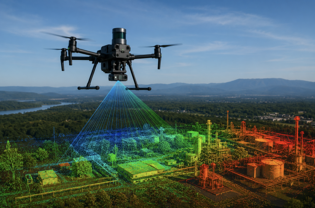
03↗Generate detailed terrain models, digital twins, volumetrics and spatial data for engineering workflows.
 04↗
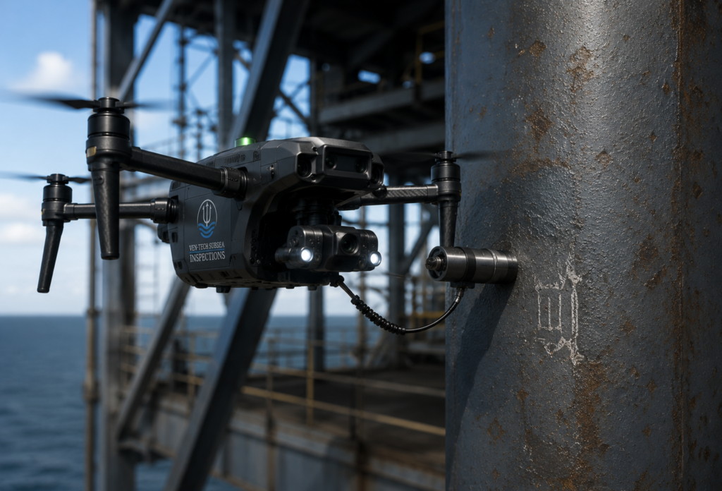
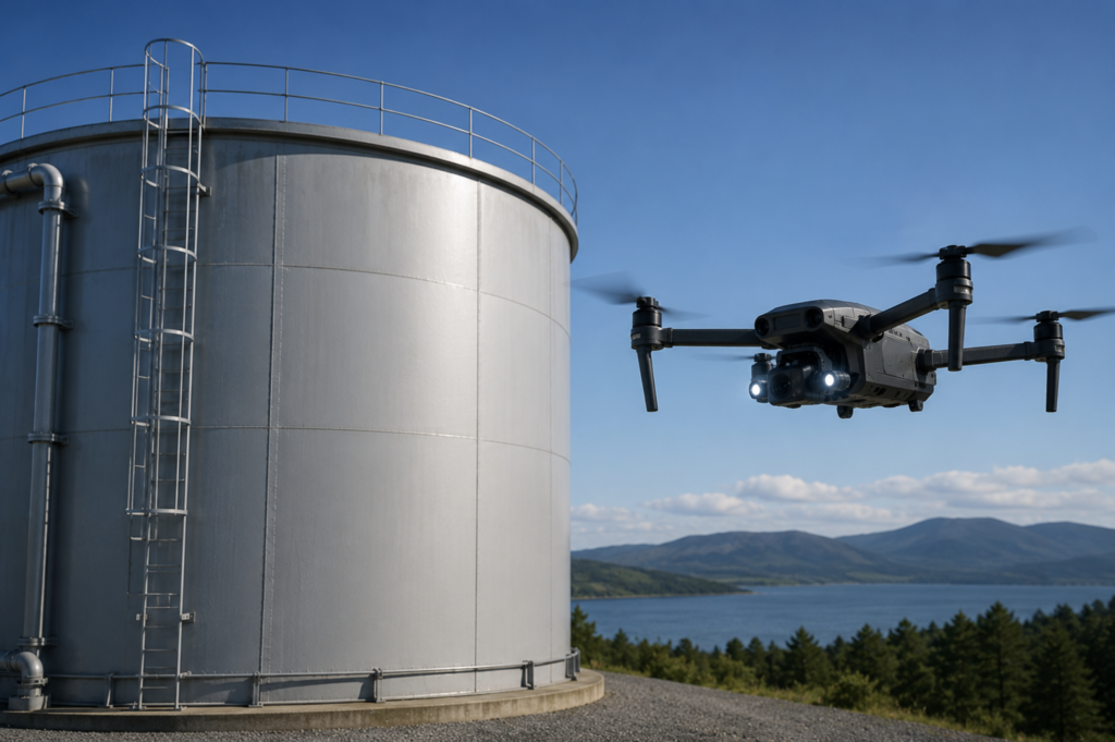
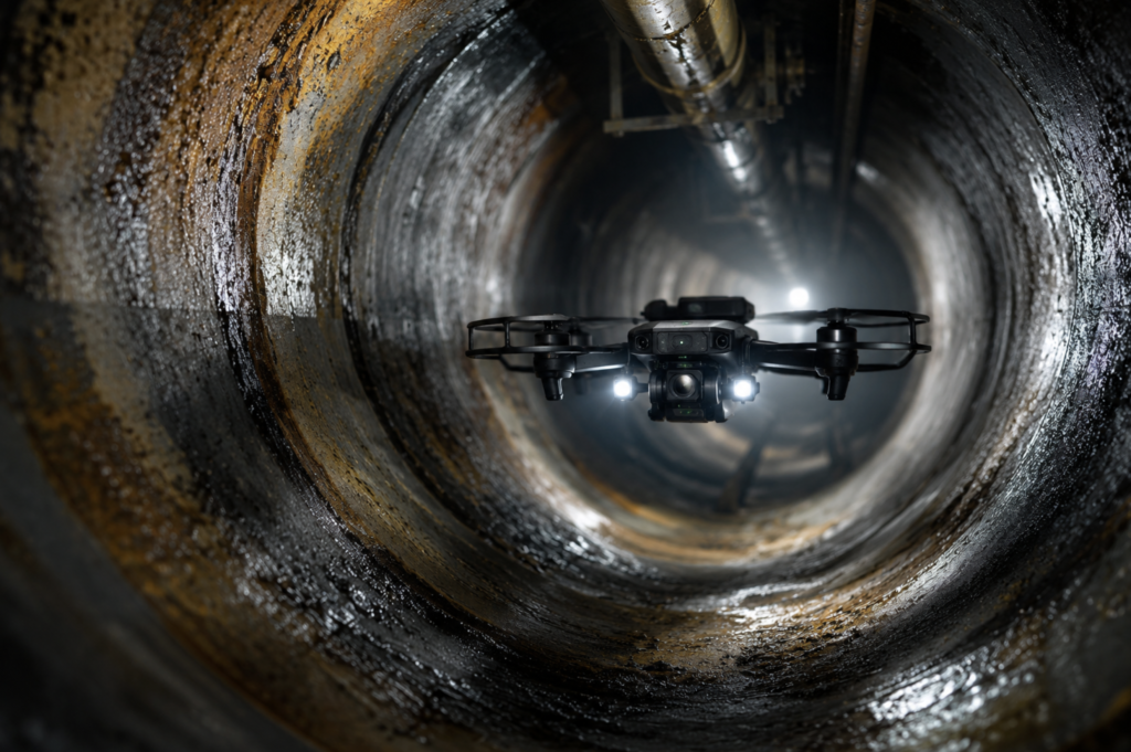
04↗Document tanks, towers, bridges, roofs, marine structures and hard-to-reach industrial assets.
 05↗
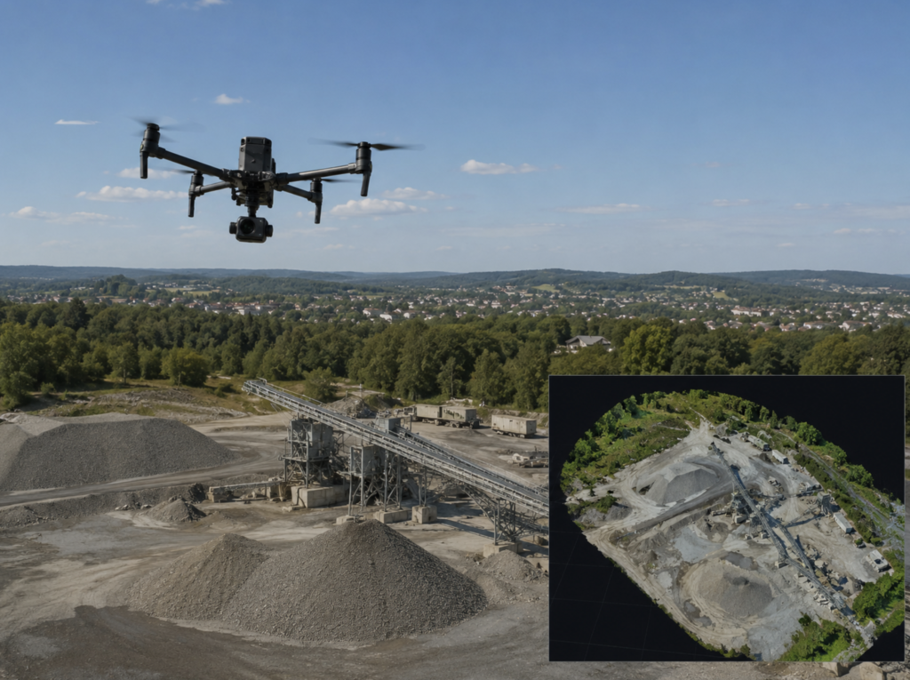
05↗Support air-quality programs, methane monitoring, habitat assessment and environmental compliance.
 06↗
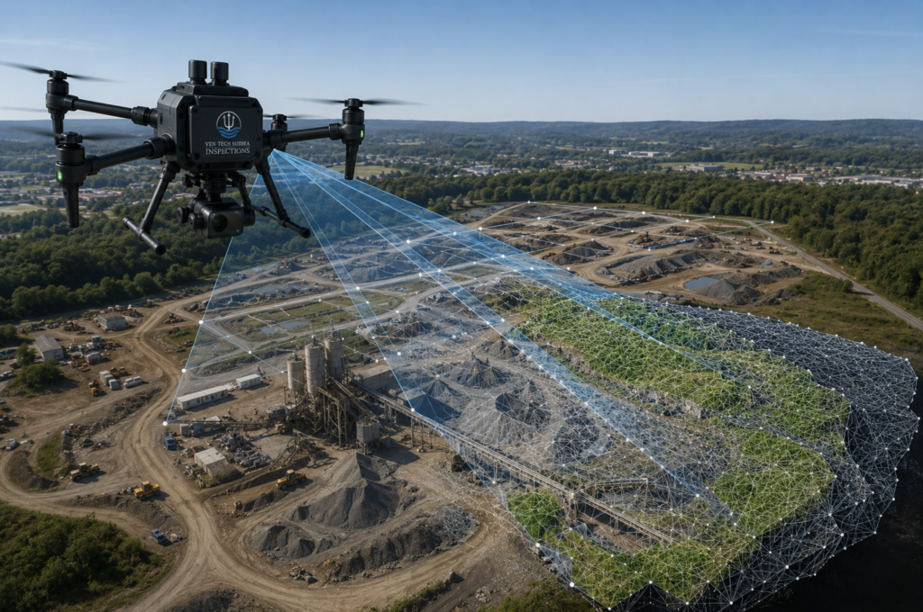
06↗Create orthomosaics, site records, progress comparisons and measurable visual documentation.
From capture to clarity
High-resolution imagery is only useful when it answers the right question. Ven-Tech plans the capture, verifies field quality and organizes the results around your operational, maintenance or compliance needs.
Why UAS inspection
For suitable assets, aerial inspection can reduce access complexity while improving coverage, repeatability and documentation.
Inspect elevated, confined or hazardous areas while reducing personnel exposure.
Capture critical information with less scaffolding, rope access and downtime.
Use consistent viewpoints and flight plans to compare change over time.
Bring imagery, spatial data and reporting together in a practical project record.
Sectors we support
Designed for asset owners, operators, municipalities, consultants and contractors who need reliable information from challenging sites.
Project workflow
A disciplined process connects field operations to the information your team needs.
Confirm the asset, inspection objective, accuracy and required output.
Review access, hazards, airspace, sensor configuration and site coordination.
Collect the data and confirm coverage and quality before leaving the site.
Organize results into practical imagery, models, measurements and reports.
Operational assurance
Every deployment is planned around the worksite, airspace, environmental conditions, asset hazards and the information required. Ven-Tech brings a safety-first industrial culture to every aerial operation.
Common questions
Send us the asset, location and decision you need to make. We’ll help define the right approach.
Start with the decision you need to make. Ven-Tech will review the asset, site conditions, required accuracy, data format and reporting needs, then recommend the right sensor and collection method.
Many UAS inspections can be completed while assets remain operational, reducing the need for scaffolding, rope access or extended shutdowns. Final feasibility depends on the asset, hazards, airspace and site controls.
Deliverables may include annotated imagery, thermal findings, mapping products, point clouds, 3D models, volumetric calculations, inspection records and project-specific reports.
Ven-Tech supports industrial, municipal, marine and environmental projects throughout British Columbia and across Canada, subject to project requirements and operating approvals.
Share the site location, asset type, inspection goal, preferred timing, required deliverables and any known hazards or access constraints. Photos, drawings and previous inspection records are also useful.
Start with the question
Tell us about the asset, environment and required deliverable. Ven-Tech will provide a practical first assessment for your project.