Reduced access exposure
Assess difficult areas remotely where the scope and conditions make robotic deployment practical.
Subsea · surface · aerial · pipe robotics
Ven-Tech Robotic Services combine ROVs, advanced UAS drones, pipe crawlers, unmanned surface vessels, sonar and 3D data capture to inspect difficult assets with a smaller site footprint and decision-ready reporting.
A smarter inspection route
Robotic Services should do more than put a camera near an asset. They should answer the engineering question, document what was observed and help the project team decide what happens next.
Ven-Tech builds each deployment around the worksite, access constraints, operating environment and required deliverable. Remote platforms can support inspection before personnel exposure is considered, extend visibility into flooded or restricted spaces, and create repeatable records for maintenance planning. Our multidisciplinary team coordinates platform selection, sensor integration, field execution and reporting as one project workflow.
Inspection capabilities
From a focused visual inspection to an integrated survey, every system is selected around the asset—not forced onto the scope.
 01↗
01↗
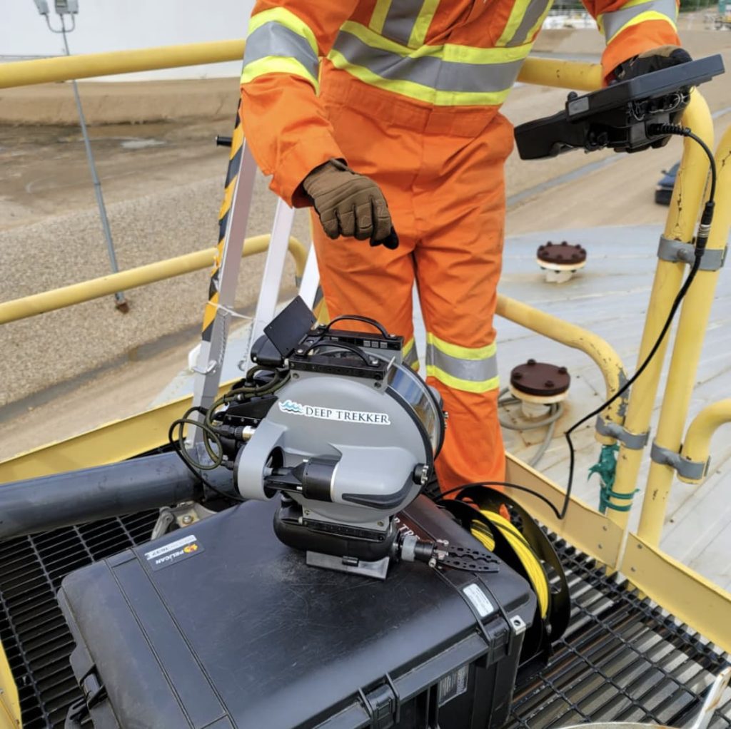
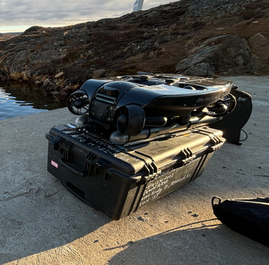
Deploy high-definition video, sonar, positioning and mission-specific tooling for submerged infrastructure, marine assets, tanks, intakes and outfalls.
 02↗
02↗
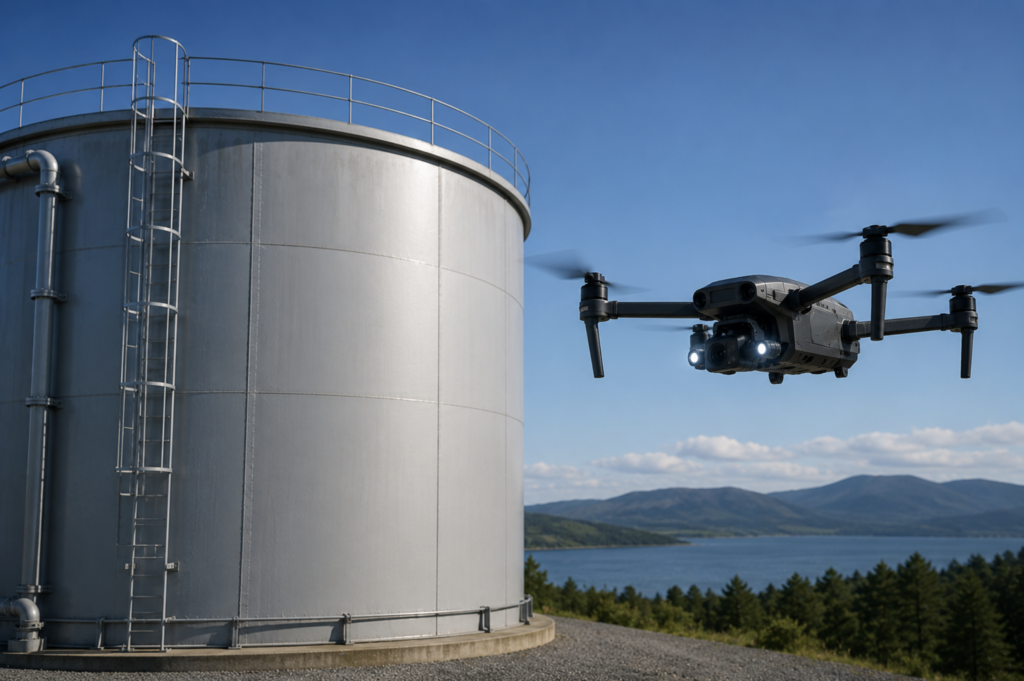
Use aerial drones with zoom, thermal, LiDAR, photogrammetry and environmental sensors for elevated, remote and difficult-to-access industrial assets.
 03↗
03↗
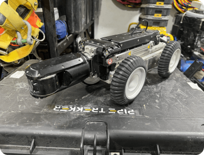
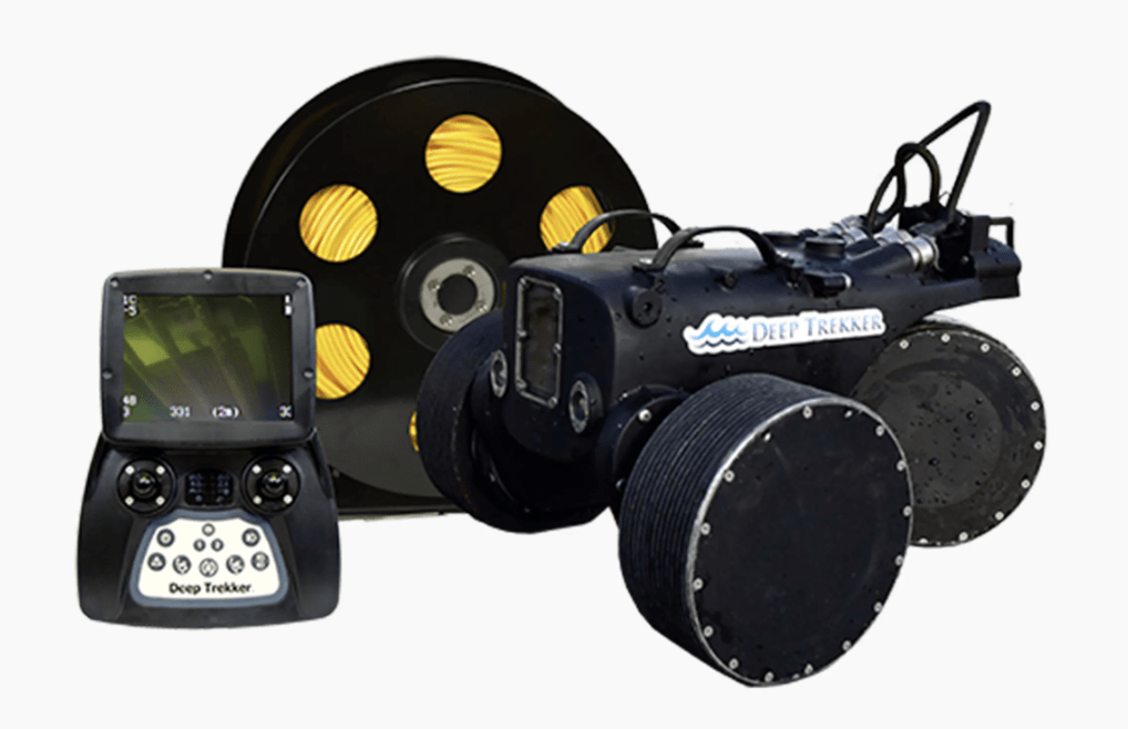
Document internal pipe condition in submerged, buried or restricted-access conduits with tracked platforms, video, profiling and structured defect records.
 04↗
04↗
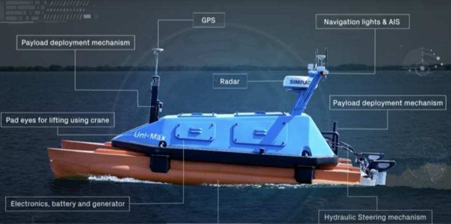
Collect bathymetric, geophysical and environmental data across lakes, rivers, reservoirs, harbours and coastal work areas with a compact surface footprint.
 05↗
05↗
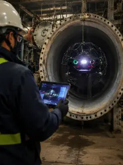
Deploy collision-tolerant indoor drones for suitable tanks, vessels, tunnels, shafts and complex interiors where GPS is unavailable and access is restricted.
 06↗
06↗
Inspect vertical, overhead and submerged ferrous surfaces while supporting close visual review, coating assessment and ultrasonic thickness measurement workflows.
Remote first where practical
Robotic inspection can reduce the amount of time people spend in or near difficult environments while providing a live view of the asset. It does not remove the need for proper hazard assessment; it gives the project team another engineered option.
Decision-ready outcomes
Our Robotic Services workflow keeps the inspection question, field evidence and final deliverable connected.
Assess difficult areas remotely where the scope and conditions make robotic deployment practical.
Review video, sonar or survey feedback during the mission and adjust the route when new observations matter.
Create indexed media and spatial data that can support condition comparison across inspection cycles.
Deliver findings in a format suited to owners, engineers, regulators and maintenance teams.
Inspection data & deliverables
Instrumentation and deliverables are configured to the project. Availability depends on the selected platform, site conditions and required accuracy.
Indexed video, still imagery, lighting, scaling references and annotated observations for condition review.
Imaging sonar, echosounder and survey data for low-visibility observation, geometry and depth mapping.
Project-specific tooling may support laser scaling, ultrasonic thickness measurements, sampling or other targeted checks.
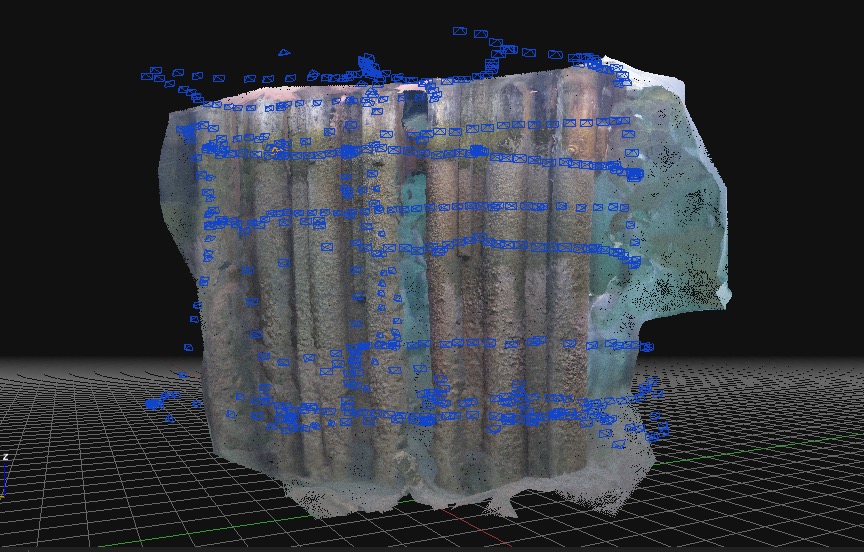
Photogrammetry, point clouds, surfaces and comparative models to add measurable context to inspection findings.
Observation logs, media registers, maps, model files and concise findings organized around the agreed scope.
How robotic services are delivered
A disciplined four-stage process aligns the platform, field team and deliverables before mobilization.
Confirm the asset, operating conditions, known hazards, inspection objectives and the people who will use the results.
Select the robotic platform, sensors, tooling, access method, coverage plan and contingency controls.
Complete field checks, operate the planned route, monitor data quality and record relevant observations.
Quality-check the collected data and issue the agreed media, models, logs and project report.
Operational assurance
Robots are only part of the solution. Ven-Tech combines them with field planning, inspection experience, data management and project communication. Applicable requirements are reviewed against the site and scope, including confined-space and marine controls where relevant. Learn more from WorkSafeBC’s confined-space guidance.
Ven-Tech project support
Ven-Tech’s operational support framework helps connect planning, field records and project data for a more transparent inspection workflow.
Explore ATHENA™ ↗Industries we support
Robotic Services are configured for organizations managing submerged, enclosed, remote or difficult-to-access infrastructure.
Robotic services FAQ
A good robotic inspection starts with the asset, the question and the required evidence—not a preferred machine.
Robotic Services can support inspections of reservoirs, tanks, pipelines, intakes, outfalls, dams, wharves, ship hulls, submerged utilities and other assets where access, visibility or operating conditions complicate conventional inspection.
Often, yes. An ROV, crawler or remote survey platform may collect the required visual or sensor data before personnel entry is considered. The final access strategy always depends on the asset, task, hazards and project requirements.
Ven-Tech selects the platform after reviewing asset geometry, access points, water depth, current, visibility, pipe diameter, surface material, required measurements and deliverables. A combined ROV, crawler, sonar or USV approach may be recommended.
Deliverables can include indexed video and stills, observation logs, sonar records, measurement data, bathymetric surfaces, 3D models, annotated findings and a project report. The exact package is agreed before mobilization.
Yes. Imaging sonar and navigation aids can support observation and mapping when optical visibility is limited. The appropriate sensor, range and survey pattern are selected for the expected site conditions.
Ven-Tech supports robotic reservoir and water-infrastructure work as well as logistically challenging projects. Project-specific cleaning, access, isolation, documentation and operating requirements are confirmed during planning.
Ven-Tech is based in North Vancouver and supports projects across British Columbia, Western Canada and other locations where the scope, logistics and regulatory requirements can be safely planned.
Start with the asset
Send the location, asset type, access details, known conditions and the decision your team needs to make. Ven-Tech will help define a practical Robotic Services approach and the right deliverables.