 01
↗
01
↗
DJI FlyCart 30
Aerial cargo transport for remote worksites, steep terrain and locations where conventional vehicle access creates delay, risk or a larger site footprint.
Commercial Drone Fleet
Ven-Tech’s Commercial Drone Fleet brings aircraft, robotics and specialist payloads together for industrial inspection, LiDAR, thermal imaging, mapping, confined spaces, aerial lifting and remote operations across Canada.
Mission-fit technology
The best aircraft is not the largest or newest one. It is the system that safely answers the project question and produces a useful deliverable.
Ven-Tech combines heavy-lift cargo aircraft, compact enterprise drones, RTK platforms, caged confined-space robots and specialist payloads in one operational fleet. We select each system around the asset, environment, airspace, accuracy, access and final use of the data.
Our fleet supports UAS inspection services, surveying and mapping, UAS LiDAR services, confined-space inspections and project-specific aerial logistics.
Aircraft & robotic platforms
Every aircraft and payload is shown separately, with the correct image matched to the exact system name.
01
↗
Aerial cargo transport for remote worksites, steep terrain and locations where conventional vehicle access creates delay, risk or a larger site footprint.
 02
↗
02
↗
A next-generation heavy-lift platform for project-specific lifting, winch delivery and higher-capacity transport missions planned around the load and worksite.
 03
↗
03
↗
Compact enterprise aircraft for detailed visual, zoom and thermal inspection of utilities, structures, emergency scenes and difficult industrial assets.
 04
↗
04
↗
Compact enterprise aircraft for detailed visual, zoom and thermal inspection of utilities, structures, emergency scenes and difficult industrial assets.
 05
↗
05
↗
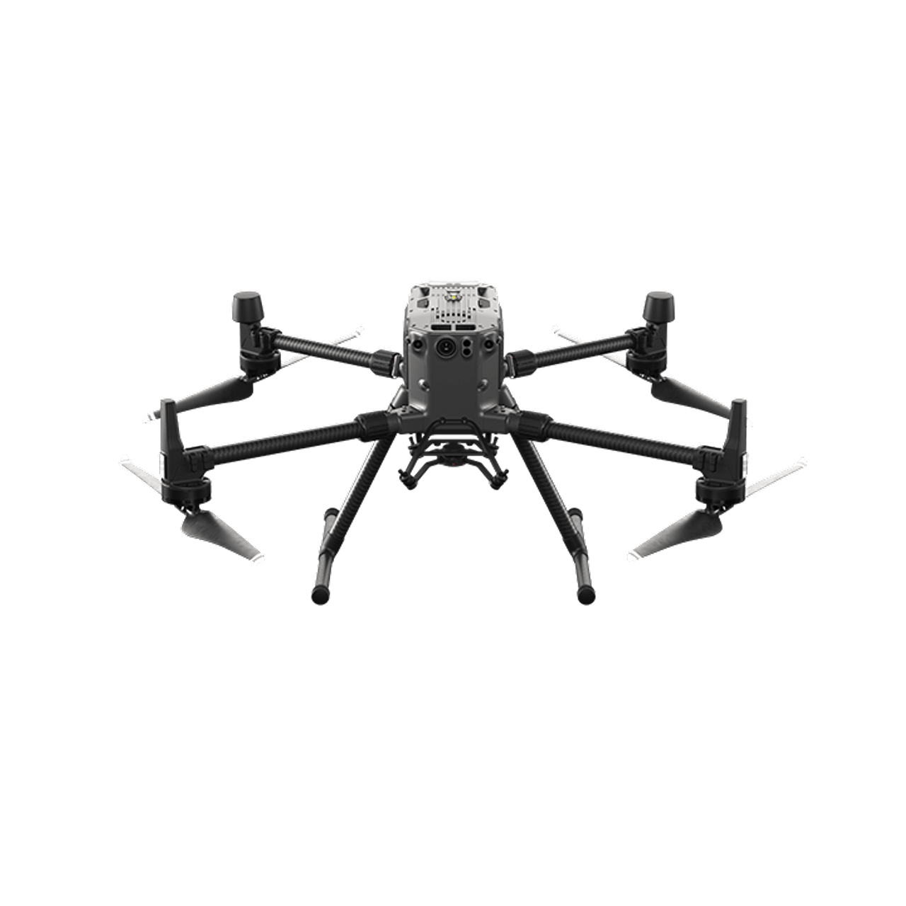
Proven multi-payload enterprise platforms for repeatable inspection, survey, thermal, LiDAR and specialized sensor operations across complex worksites.
 06
↗
06
↗
Proven multi-payload enterprise platforms for repeatable inspection, survey, thermal, LiDAR and specialized sensor operations across complex worksites.
 07
↗
07
↗
A flagship enterprise platform selected for long-endurance missions, multiple payload configurations and advanced inspection or mapping programs.
 08
↗
08
↗
A highly deployable mapping and inspection aircraft for orthomosaics, progress records, site intelligence and efficient photogrammetry acquisition.
 09
↗
09
↗
Agile aerial imaging platforms for high-quality site photography, video, close visual context and communications-ready project documentation.
 10
↗
10
↗
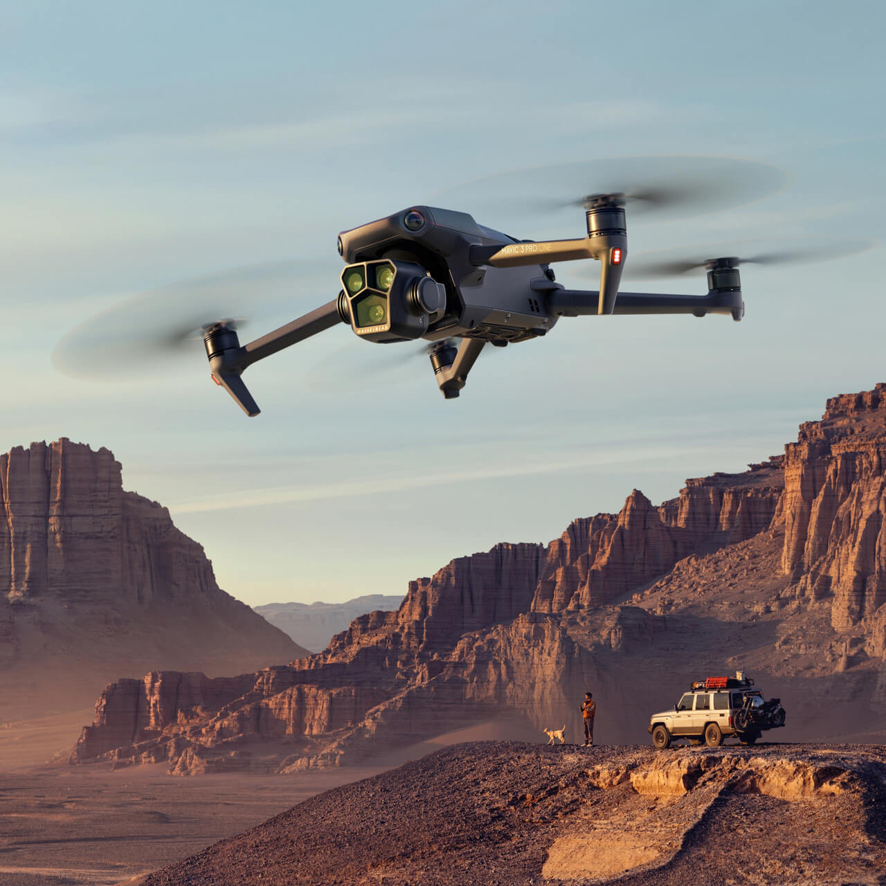
Agile aerial imaging platforms for high-quality site photography, video, close visual context and communications-ready project documentation.
 11
↗
11
↗
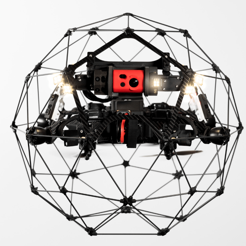
Collision-tolerant caged drones for internal inspection of tanks, tunnels, pipes, shafts, vessels and other GPS-denied or confined environments.
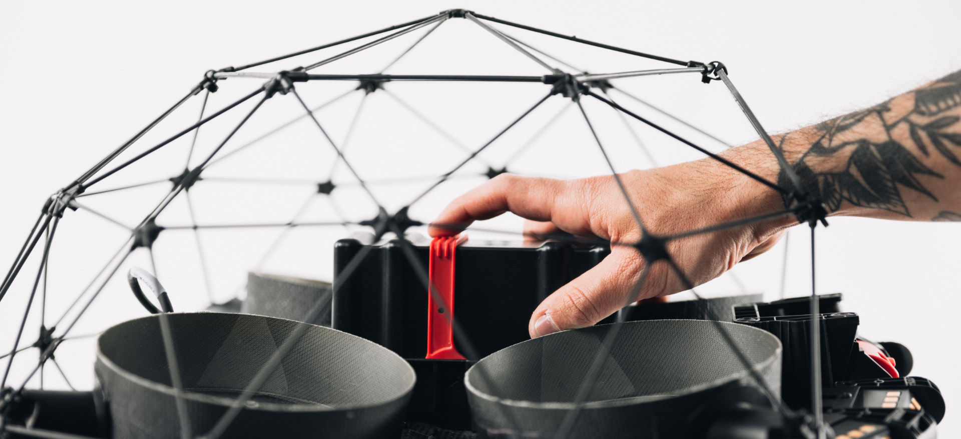 12
↗
12
↗
Collision-tolerant caged drones for internal inspection of tanks, tunnels, pipes, shafts, vessels and other GPS-denied or confined environments.
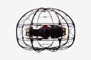 13
↗
13
↗
A specialized confined-space platform with a robust cage, integrated LiDAR, inspection imaging, high-output lighting and gas-detection capability.
 14
↗
14
↗
High-capacity agricultural platforms for precision application, spreading and mission-specific land-management support where regulations and site conditions allow.
 15
↗
15
↗
High-capacity agricultural platforms for precision application, spreading and mission-specific land-management support where regulations and site conditions allow.
 16
↗
16
↗
RTK-enabled LiDAR and calibrated imaging workflows for point clouds, terrain models, orthomosaics, measurements, volumes and three-dimensional site records.
 17
↗
17
↗
RTK-enabled LiDAR and calibrated imaging workflows for point clouds, terrain models, orthomosaics, measurements, volumes and three-dimensional site records.
 18
↗
18
↗
Mission-configured radiometric thermal, optical gas imaging, zoom, mapping, LiDAR, lighting and communications payloads for actionable field intelligence.
 19
↗
19
↗
Mission-configured radiometric thermal, optical gas imaging, zoom, mapping, LiDAR, lighting and communications payloads for actionable field intelligence.
More than an aircraft list
Real capability comes from combining the right aircraft with the right sensor, trained personnel, site controls and reporting workflow. Our Commercial Drone Fleet is configured around the mission rather than presented as a collection of product specifications.
Operational range
A diverse Commercial Drone Fleet allows Ven-Tech to address very different environments without compromising the mission around one platform.
Capture close visual, zoom and thermal evidence for structures, utilities, facilities, roofs and difficult assets.
Collect repeatable RTK, LiDAR and photogrammetry data for terrain, models, volumes and engineering decisions.
Inspect tanks, tunnels, pipes, shafts and vessels with caged systems designed for collision-tolerant internal flight.
Move suitable cargo between controlled pickup and delivery zones with project-specific lifting and rigging plans.
Payload ecosystem
Ven-Tech’s platform range supports a broad DJI Zenmuse and specialist payload ecosystem. Compatibility, accuracy and data format are confirmed for each project before deployment.
Dense three-dimensional point clouds for terrain, vegetation, corridors, structures, volumetrics and engineering support.
Wide, zoom and radiometric thermal data for asset condition, temperature anomalies, emergency response and maintenance planning.
Georeferenced imagery for orthomosaics, surface models, progress comparisons, site documentation and measurable 3D products.
Mission-specific gas-sniffing payloads for remote screening and environmental monitoring, with sensor selection matched to the target gas and conditions.
Compatible spotlights and loudspeakers can support low-light inspections, site awareness and public-safety communications where appropriate.
Rigging, load control and delivery systems configured around the payload, route, release point, work area and operational risk assessment.
Fleet deployment workflow
The aircraft decision is made within a documented operational process—not separately from it.
Confirm the asset, site, decision, accuracy, output, schedule and success criteria.
Match aircraft, sensor, batteries, positioning, communications and supporting equipment.
Review airspace, hazards, weather, access, site controls, contingencies and client requirements.
Acquire the data, verify field quality, process the outputs and issue organized project records.
Operational assurance
Ven-Tech’s Commercial Drone Fleet operates within the same health-and-safety, contractor management, documentation and quality framework that supports our work across industrial, municipal, marine and infrastructure environments.
Sectors we support
Designed for asset owners, engineers, survey professionals, contractors and public agencies working in demanding environments.
Common questions
Tell us what must be inspected, measured, moved or documented. We’ll recommend a practical platform and payload strategy.
Ven-Tech begins with the project question, asset, location, airspace, environment, access constraints and required deliverable. Aircraft and payload selection follows that assessment. A compact imaging drone may be ideal for rapid documentation, while an RTK enterprise platform, caged confined-space drone or cargo system may be required for a more specialized mission.
No. A professional Commercial Drone Fleet exists because inspection, mapping, thermal, LiDAR, confined-space and lifting work place very different demands on the aircraft, sensor, pilot and operating plan. Ven-Tech selects a mission-fit system instead of forcing one aircraft into every application.
Yes. Available workflows include LiDAR point clouds, optical and radiometric thermal inspection, RTK-supported photogrammetry, orthomosaics, surface models, terrain products, volumes and project-specific 3D deliverables. Sensor compatibility and output specifications are confirmed during scoping.
Yes. Ven-Tech uses collision-tolerant caged platforms such as the Elios series and other specialty confined-space systems for suitable internal environments. The team reviews access, atmosphere, communication, contamination, lighting, geometry, retrieval planning and client permit requirements before entry or deployment.
Yes. Ven-Tech plans aerial lifting and cargo transport missions around the actual load, rigging, route, terrain, pickup and delivery zones, weather, people on site and applicable aviation requirements. Capacity is never treated as a stand-alone promise; safe operating limits depend on the complete mission.
Availability and suitability depend on aircraft configuration, payload compatibility, maintenance status, regulatory approvals, location, weather and scope. Ven-Tech confirms the proposed platform and deliverable before mobilization and may recommend a different system when it produces a safer or more useful result.
Send the site location, asset or area, objective, approximate dimensions, desired deliverable, schedule, access limitations, known hazards and any accuracy or reporting standard. Photographs, drawings, coordinates and previous inspection records help the team prepare a practical first assessment.
Start with the mission
Send us the location, asset, payload, access constraints, required data and schedule. Ven-Tech will match the objective to an appropriate aircraft, sensor and operating plan from our Commercial Drone Fleet.