Bathymetric surfaces
Cleaned depth surfaces, contours, grids and seabed models prepared for the agreed coordinate and vertical reference framework.
Hydrographic · geophysical · geotechnical
Ven-Tech Survey Services connect hydrographic, geophysical, geotechnical, robotic and aerial methods to deliver precise marine and inland-water data for engineering, construction, maintenance and environmental decisions.
Survey intelligence
Useful survey data is not simply collected—it is designed around the question your project needs to answer.
Ven-Tech provides Survey Services for marine infrastructure, inland waters, reservoirs, ports, energy assets, pipelines, cables, environmental programs and complex industrial sites. We connect field planning, positioning, sensor selection, quality control, processing and reporting so every dataset has a clear operational purpose.
The result can support feasibility, design, permitting, construction, dredging, inspection, maintenance, emergency response or long-term change monitoring. Survey scope and accuracy are defined before mobilization, and limitations remain visible in the final record.
Survey Services capabilities
From a focused depth check to a multi-sensor corridor program, each survey is designed around the environment, accuracy, coverage and deliverable.
 01↗
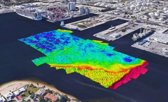
01↗Single-beam and multibeam data collection for depth, seabed form, dredging, navigation, reservoir capacity, marine construction and asset planning.
Explore capability →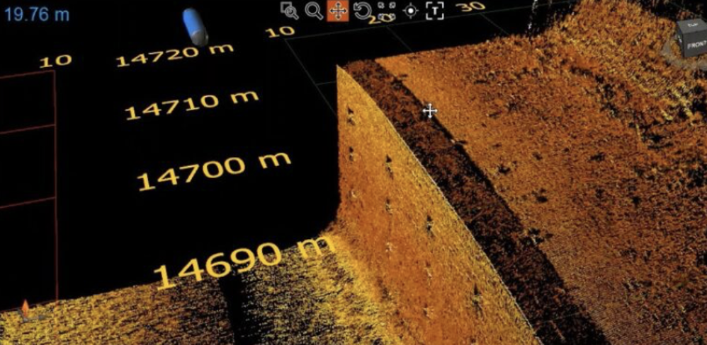 02↗
02↗Side-scan sonar, sub-bottom profiling and magnetometer workflows for sediment interpretation, buried targets, debris and route-risk investigation.
Explore capability →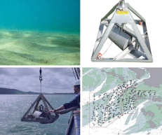 03↗
03↗Project-selected seabed sampling and subsurface investigation, including grab sampling, coring or specialist testing coordinated around engineering requirements.
Explore capability →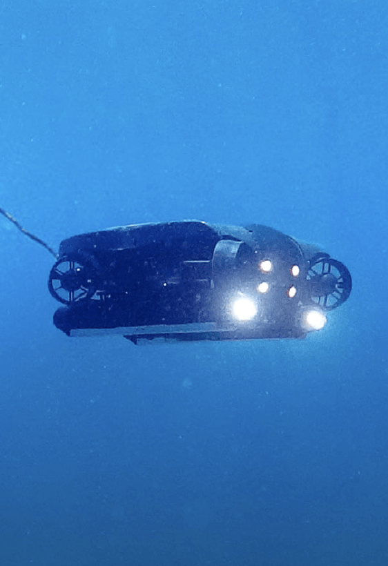 04↗
04↗Route reconnaissance, seabed profiling, crossing assessment, target investigation and repeat monitoring for marine pipelines, outfalls and subsea cables.
Explore capability →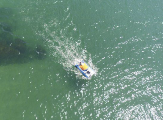 05↗
05↗Acoustic and magnetic data collection to locate and classify suitable targets for engineering review, clearance planning or follow-up investigation.
Explore capability →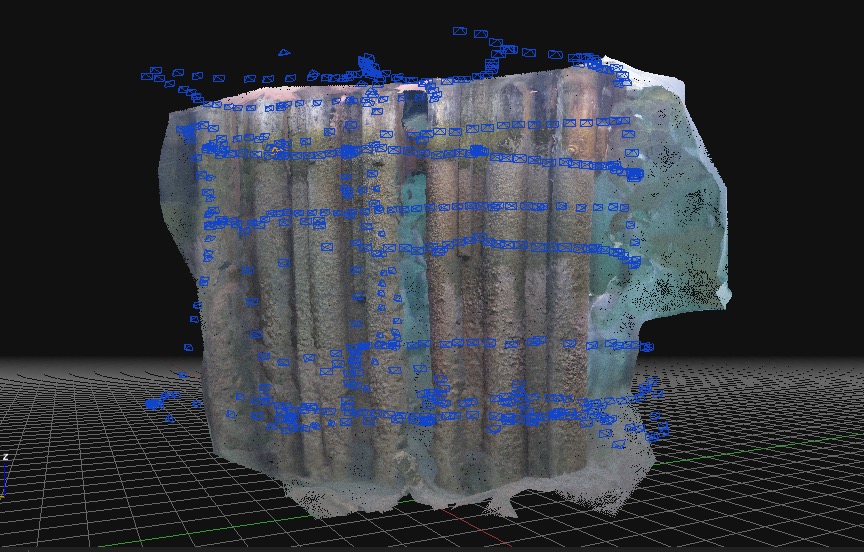 06↗
06↗Baseline mapping and project-specific water, sediment, current, tide, habitat and shoreline observations to support environmental decisions and permits.
Explore capability →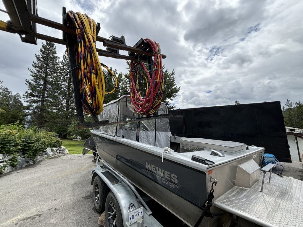 07↗
07↗Pre-dredge, progress and post-dredge surveys; berth and channel condition data; debris detection; volumes; clearances and repeatable maintenance records.
Explore capability →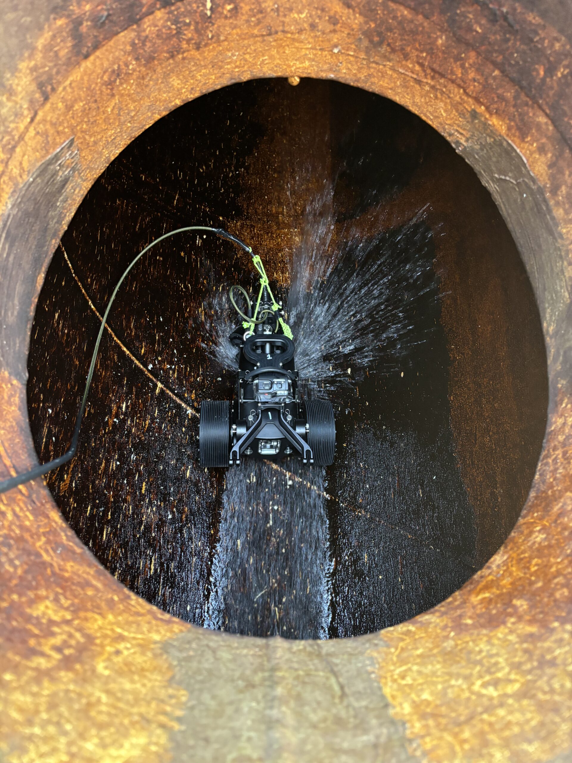 08↗
08↗Integrated sonar, optical imagery, positioning and robotic access for bridges, intakes, outfalls, caissons, terminals, dams and submerged infrastructure.
Explore capability →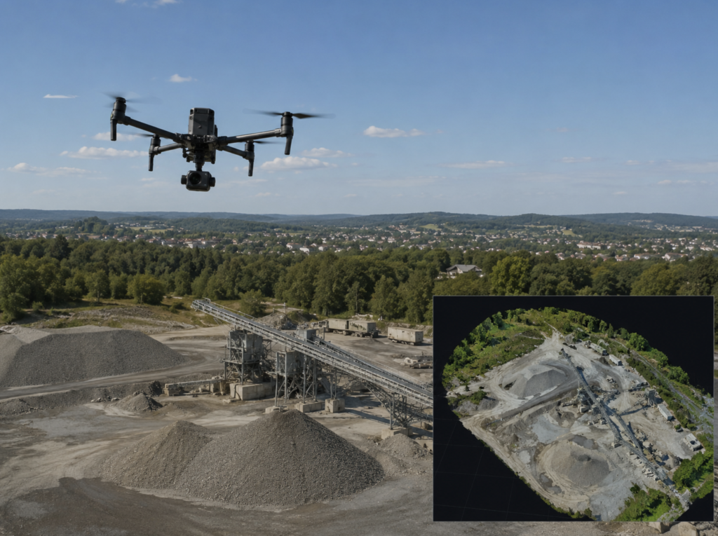 09↗
09↗High-resolution image, sonar and LiDAR workflows for point clouds, surface models, digital twins, measurements and change documentation.
Explore capability →Integrated acquisition
Sonar, positioning, imagery, LiDAR, water-level and environmental observations become more valuable when they share a common project framework.
Data deliverables
Survey Services outputs are prepared for the people who must design, approve, build, maintain or investigate—not simply for the acquisition team.
Cleaned depth surfaces, contours, grids and seabed models prepared for the agreed coordinate and vertical reference framework.
Project-ready DXF, DWG, SHP, GeoTIFF, XYZ, LAS/LAZ or other agreed formats for engineering and spatial workflows.
Cut-and-fill, dredge quantities, reservoir capacity, stock or sediment volumes and comparison against previous or design surfaces.
Plan views, bathymetric charts, longitudinal profiles, cross-sections, clearances and annotated target or feature maps.
Georeferenced point clouds, meshes, orthomosaics and digital terrain or surface models for measurement and visualization.
Organized sonar contacts, imagery, coordinates, dimensions, confidence notes and recommendations for further investigation.
Survey control, calibration checks, equipment configuration, acquisition notes, processing steps, limitations and quality results.
Clear methods, observations, mapped results and limitations structured for owner, engineering, regulatory or maintenance review.
Deployment platforms
Ven-Tech combines manned, unmanned, robotic, aerial and diver-supported options so the platform fits the environment and mission.
01Jet boats, pontoons, work barges and project-selected vessels provide stable deployment, power, communications and workspace for marine survey crews and equipment.
 02
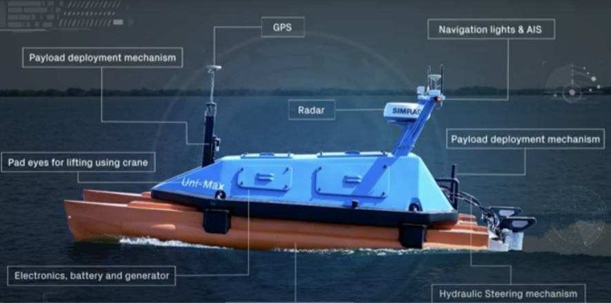
02USVs support remote or low-footprint bathymetric, sonar and environmental acquisition in suitable shallow, restricted or logistically difficult waters.
03ROVs carry cameras, sonar, positioning and specialist sensors closer to underwater structures, complex terrain and targets requiring detailed investigation.
 04
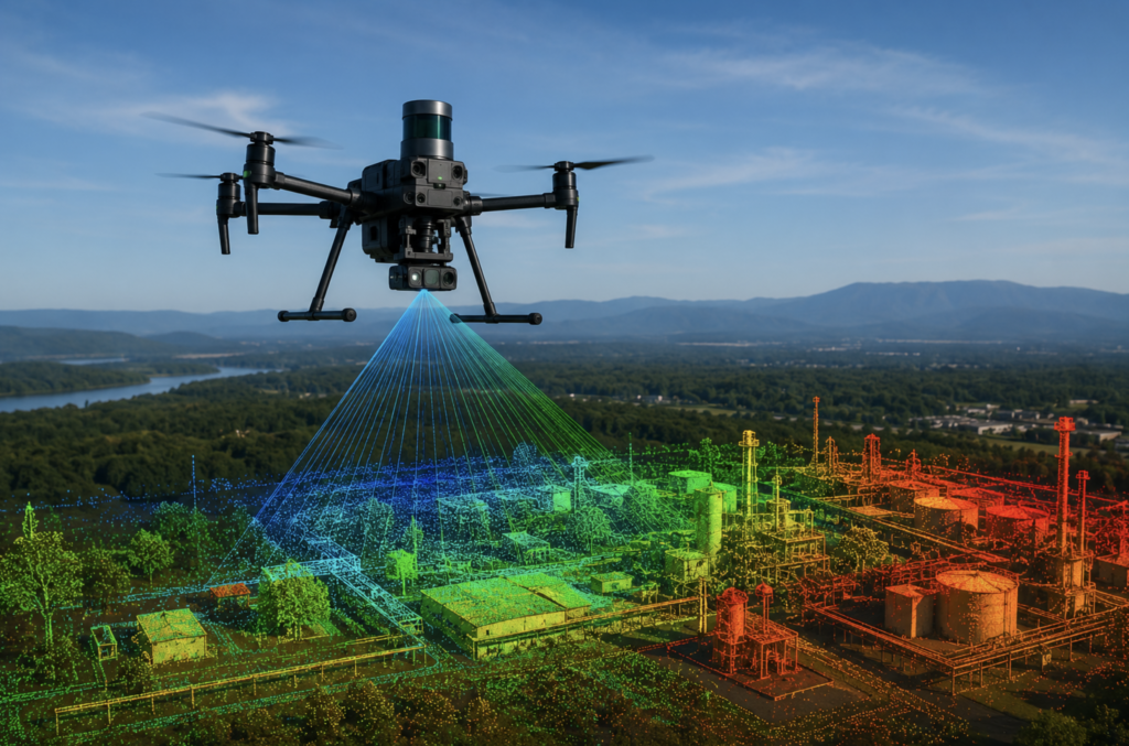
04Aerial LiDAR and mapping, towfish sonar, diver-deployable tools and portable shore systems close data gaps across the land-water-subsea interface.
Deployment platforms
Ven-Tech combines manned, unmanned, robotic, aerial and diver-supported options so the platform fits the environment and mission.
 01
01Jet boats, pontoons, work barges and project-selected vessels provide stable deployment, power, communications and workspace for marine survey crews and equipment.
02USVs support remote or low-footprint bathymetric, sonar and environmental acquisition in suitable shallow, restricted or logistically difficult waters.
 03
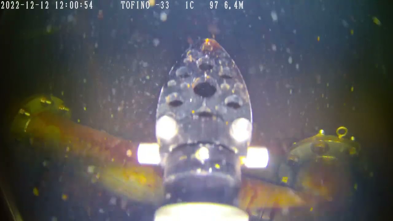
03ROVs carry cameras, sonar, positioning and specialist sensors closer to underwater structures, complex terrain and targets requiring detailed investigation.
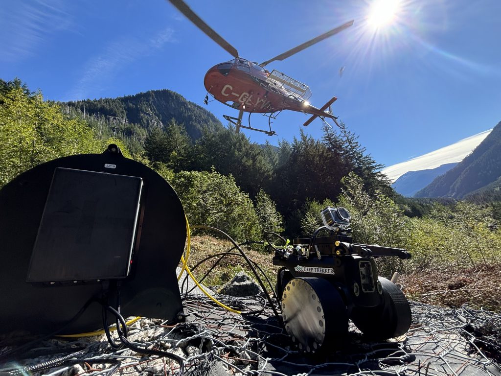
04Aerial LiDAR and mapping, towfish sonar, diver-deployable tools and portable shore systems close data gaps across the land-water-subsea interface.
Quality assurance
Survey quality is established through the specification, control, calibration, environment, acquisition geometry, verification and processing workflow. Ven-Tech documents the decisions and checks that materially affect the result.
Confirm the asset, survey purpose, accuracy, coverage, coordinate reference, deliverables, acceptance criteria and intended downstream use.
Select platforms, sensors, line plans, control, tide or water-level method, sound-velocity strategy, calibration and verification checks.
Track positioning, coverage, overlap, environment, vessel motion, data quality, sensor health and changes while the team is still on site.
Apply documented corrections, filtering and classification while retaining raw data, configuration records and processing history.
Review coverage, uncertainty, crosslines, control, artefacts, gaps, target confidence and conformance with the project specification.
Issue mapped products, source data and reporting in the formats, reference systems and level of explanation agreed with the client.
Sensors · positioning · formats
Equipment is selected after the survey question is clear. The final configuration may combine complementary tools and will be confirmed for the actual site.
Certified · recognized · accountable
Ven-Tech combines Survey Services with an established contractor-management, HSE and documentation framework suitable for municipal, industrial, energy and marine clients.


Program standing and project-specific technical qualifications are confirmed during procurement and mobilization. Survey method, accuracy and acceptance criteria remain scope-specific.
Review Ven-Tech HSE ↗Certified · recognized · accountable
Ven-Tech combines Survey Services with an established contractor-management, HSE and documentation framework suitable for municipal, industrial, energy and marine clients.
Program standing and project-specific technical qualifications are confirmed during procurement and mobilization. Survey method, accuracy and acceptance criteria remain scope-specific.
Review Ven-Tech HSE ↗Sectors we support
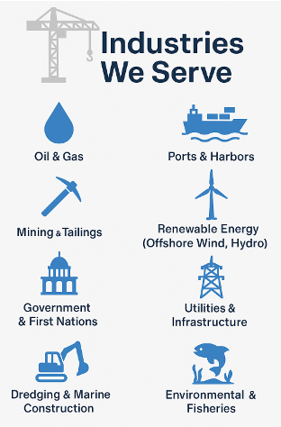
Our Survey Services support organizations responsible for assets, navigation, construction, environmental performance and public infrastructure across Canada.
Sectors we support
Our Survey Services support organizations responsible for assets, navigation, construction, environmental performance and public infrastructure across Canada.
Survey Services FAQ
These answers provide a starting point. Final equipment, accuracy, control, permits, HSE measures and deliverables are confirmed for the actual project.
Ven-Tech provides hydrographic and bathymetric surveys, geophysical surveys, geotechnical investigation support, pipeline and cable route surveys, UXO and debris mapping, environmental and MetOcean monitoring, port and dredging surveys, subsea asset inspection, 3D mapping and integrated land-water survey support.
Hydrographic surveying primarily measures water depth and submerged terrain. Geophysical surveying uses tools such as side-scan sonar, sub-bottom profilers and magnetometers to investigate seabed texture, buried features, sediment layers and targets. Many projects combine both methods.
Yes, where site conditions and the survey objective are suitable. A USV can reduce the size of the field footprint and work in some shallow or restricted areas. Platform selection still depends on water conditions, communications, access, payload, required endurance and applicable permissions.
Accuracy is project-specific and depends on the required survey order, depth, environment, positioning, control, sensor configuration, calibration, water-level correction and processing. Ven-Tech confirms the accuracy and uncertainty requirements before selecting the equipment and method.
Depending on the scope, deliverables can include PDF reports and charts, CAD files such as DWG or DXF, GIS files such as SHP or GeoTIFF, XYZ soundings, LAS or LAZ point clouds, surfaces, meshes, images, video, target lists and project-specific databases.
Yes. Pre-dredge, progress and post-dredge surfaces can support cut-and-fill analysis, quantity tracking, design comparison, clearances and maintenance records. The calculation method, surface resolution, boundary and reference level are agreed before reporting.
Yes. The survey plan can combine aerial mapping, surface-vessel sonar, subsea robotic inspection and commercial diving where complementary methods improve coverage, positioning, target confirmation or access.
Provide the location, water body, approximate area or route, depth range, objective, known hazards, existing drawings or control, required accuracy, preferred coordinate system, schedule and expected deliverables. Ven-Tech can then recommend a practical survey approach.
Start with the project question
Send the location, survey area, depth range, objective, schedule, existing information and required deliverable. Ven-Tech will help define a practical Survey Services approach.