- Commercial Diving:
- (604) 230-3022
- info@ven-techsubsea.ca
- Robotics & Surveys
- (250) 572 4889
- info.robotics@ven-techsubsea.ca
Ven-Tech Subsea Inspections provides advanced aerial drone services for high-precision inspections, monitoring, mapping, and data collection across industrial, municipal, environmental, oil & gas, mining, marine, and infrastructure sectors throughout Canada. Using advanced UAV technology, we safely access hazardous and hard-to-reach environments while reducing downtime, improving safety, and increasing inspection efficiency.
Our aerial drone services include Advanced Optical Gas Imaging (OGI), Thermal Imaging, Environmental and Air Quality Monitoring, LiDAR and 3D Mapping, Industrial and Structural Inspections, and Landfill Gas Monitoring. By combining high-resolution sensors, thermal cameras, LiDAR systems, and advanced data processing software, we deliver accurate, engineer-ready results that support asset integrity, environmental compliance, preventative maintenance, and operational decision-making.
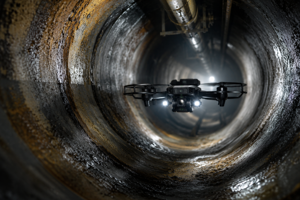
From industrial facilities and pipelines to reservoirs, bridges, landfills, and remote infrastructure, our UAV platforms provide rapid, detailed aerial assessments without the need for scaffolding, rope access, confined space entry, or shutdowns.
ADVANCED UAS (DRONE) SERVICES
Advanced UAV Technology:
We deploy advanced aerial drone platforms equipped with LiDAR, thermal imaging, Optical Gas Imaging (OGI), photogrammetry, and environmental monitoring sensors to deliver accurate, high-resolution inspection and mapping data across complex industrial environments.
Safety-Driven Operations:
Our drone-based inspection methods reduce or eliminate the need for scaffolding, rope access, confined space entry, shutdowns, and hazardous manual inspections. This improves site safety, minimizes operational risk, and reduces downtime.
High-Precision Data & Reporting:
From 3D mapping and thermal analytics to gas leak detection and structural assessments, we provide actionable data and professional engineer-ready deliverables that support asset integrity, compliance, maintenance planning, and operational decision-making.
Industrial & Environmental Expertise:
Ven-Tech Subsea supports clients across oil & gas, municipal infrastructure, marine, mining, environmental, utility, and industrial sectors throughout Canada, providing efficient aerial inspection solutions for critical assets and remote environments.
Regulatory & Compliance Focused:
Our operations follow strict safety and operational standards, including WorkSafe BC requirements, CSA standards, and industry best practices for industrial inspections, environmental monitoring, and UAV operations.
ATHENA™ Integrated Operations:
All aerial deployments are supported by ATHENA™—our proprietary AI-powered operational and compliance system that assists with project tracking, inspection workflows, documentation, data management, and audit-ready reporting.
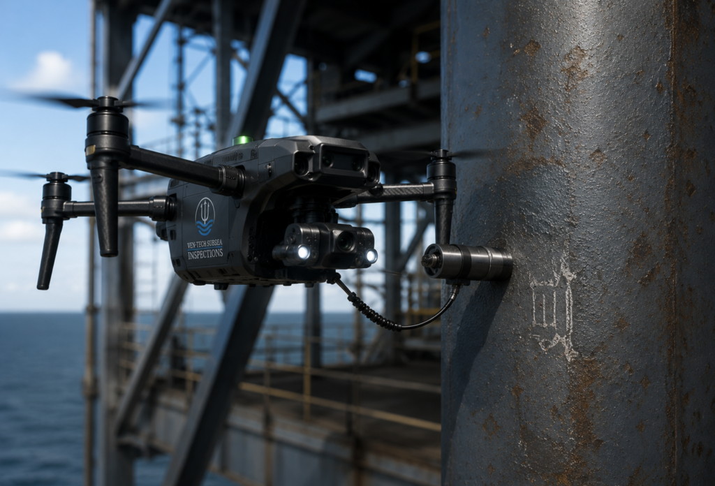
Advanced UAV-based gas leak detection and emissions monitoring using high-resolution optical gas imaging technology.
Drone thermal inspections for identifying heat loss, equipment failures, hotspots, and operational deficiencies.
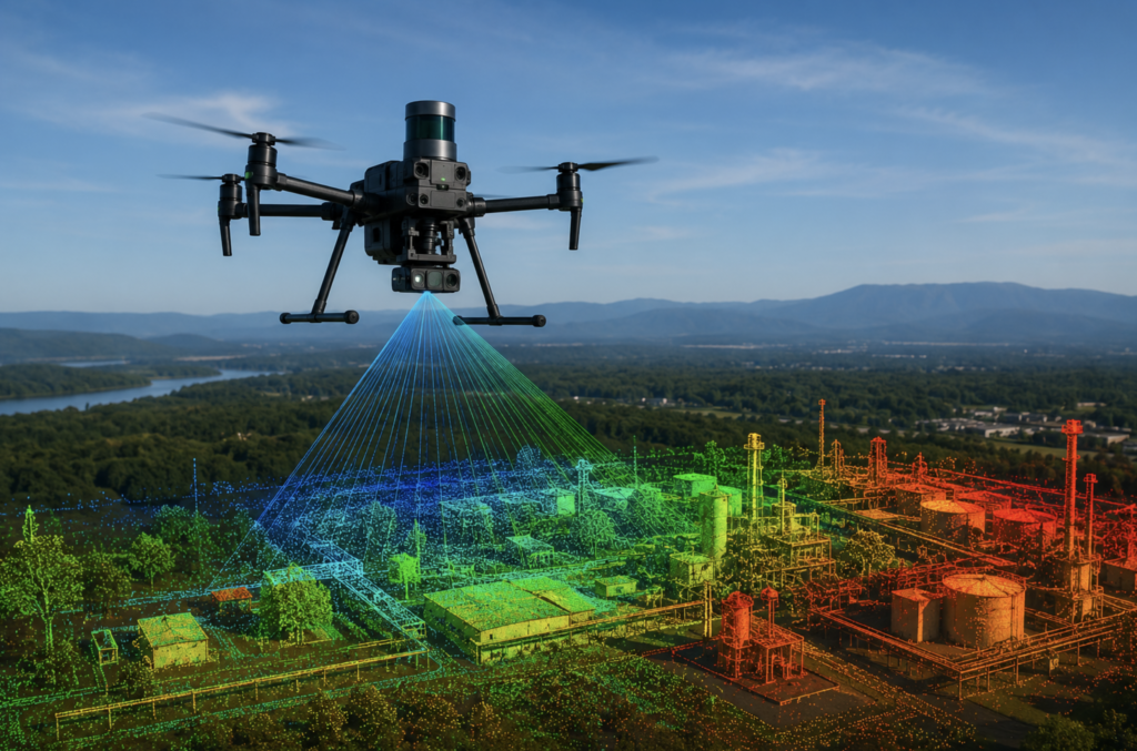
High-accuracy LiDAR scanning and 3D mapping solutions for terrain modeling, infrastructure analysis, and engineering applications.
Real-time aerial environmental monitoring and air quality data collection for industrial and environmental applications.
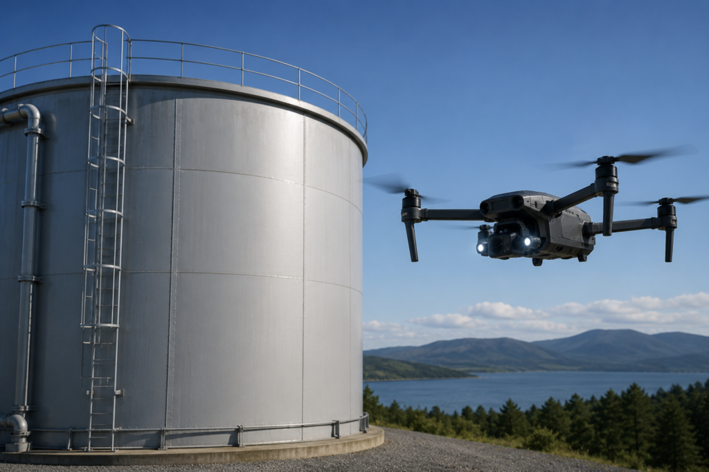
Safe and efficient aerial inspections of industrial assets, structures, facilities, tanks, bridges, and critical infrastructure.
Advanced drone-based landfill gas detection and monitoring solutions for methane emissions, compliance, and environmental assessments.
High-resolution drone inspections utilizing thermal imaging, Optical Gas Imaging (OGI), and advanced UAV sensors to assess industrial assets, detect anomalies, monitor emissions, and improve operational safety.
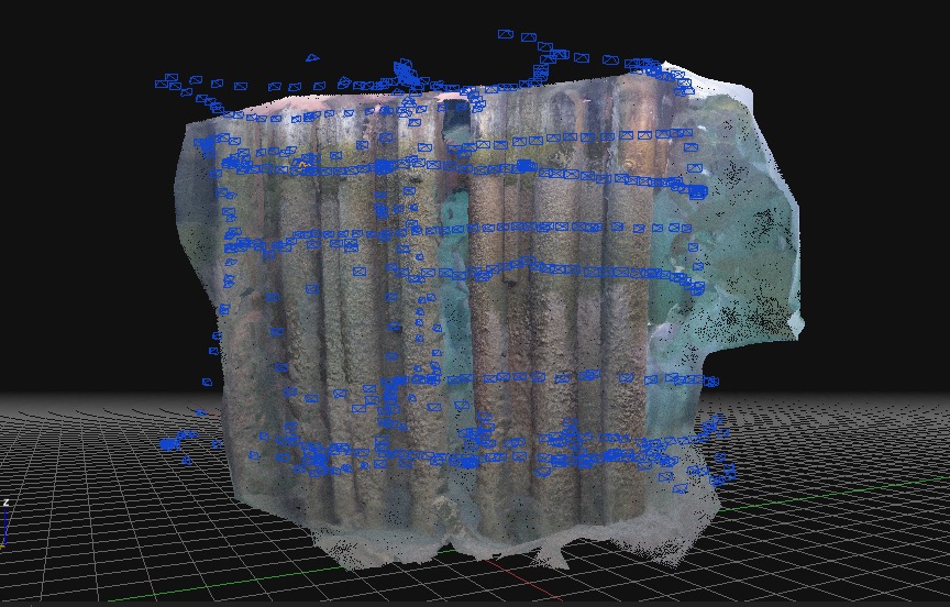
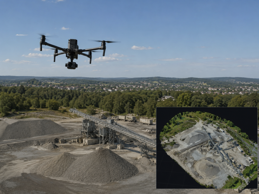
Precision aerial LiDAR and photogrammetry solutions delivering accurate terrain models, topographic surveys, volumetric calculations, and high-density 3D mapping data for engineering and infrastructure applications.
Advanced drone-based environmental monitoring services for air quality analysis, emissions tracking, methane detection, landfill gas monitoring, and environmental compliance assessments.
Safe and efficient UAV inspections of tanks, pipelines, flare stacks, bridges, roofs, towers, reservoirs, and critical infrastructure without the need for scaffolding, rope access, or shutdowns.
Our advanced aerial drone inspection, mapping, and monitoring services are trusted by clients across multiple industries:
Municipal Utilities & Districts: Reservoir, water tower, treatment facility, and distribution infrastructure inspections
Oil & Gas Operators: Optical Gas Imaging (OGI), flare stack inspections, emissions monitoring, and pipeline assessments
Mining & Heavy Industry: Stockpile volumetrics, thermal inspections, environmental monitoring, and site mapping
Ports, Harbors & Marine Terminals: Structural inspections, asset monitoring, coastal mapping, and infrastructure assessments
Environmental Agencies: Air quality monitoring, environmental compliance surveys, methane detection, and habitat assessments
Landfills & Waste Management Facilities: Landfill gas monitoring, thermal hotspot detection, emissions tracking, and volumetric mapping
Engineering & Construction Firms: LiDAR surveys, photogrammetry, topographic mapping, progress tracking, and as-built verification

Whether you’re an industrial operator requiring advanced thermal inspections, an environmental agency monitoring emissions, or an engineering firm seeking high-accuracy LiDAR and photogrammetry data, Ven-Tech Subsea delivers advanced aerial drone solutions engineered for safety, precision, and efficiency.
Get in touch to schedule a project consultation, request a live demonstration, or learn how our UAV technology can streamline inspections, mapping, environmental monitoring, and asset management operations.